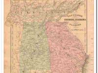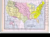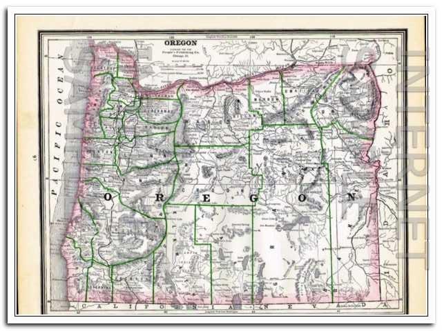


Original vintage 1886 Map of OREGON TERRITORY. Lists the population at 174,768. Beautifully detailed hand colored copper engraved original map. The map itself is not dated, but was removed from a Family Atlas published in 1886. A true 123+ year old antique map. OR. WA. Would look magnificent when matted and framed! The Territory of Oregon was an organized incorporated territory of the United States that existed from August 14, 1848 until February 14, 1859, when the southwestern portion of the territory was admitted to the Union as the State of Oregon. The northwestern region, Washington Territory, was part of Oregon Territory from 1848 to 1853, after which it was separated from Oregon and established as Washington Territory. In 1889, Washington became the 42nd state of the United States. ( info from Wikipedia.org.)On the reverse side is the Map of WASHINGTON TERRITORY. Page measures approximately 11 x 13.5 inches.
- SKU p567b
Payment Methods


Shipping
USPS, FREE Shipping
Payment Policy
We accept major credit cards and PayPal.
Payment is due upon checkout..
Shipping Policy
Free Shipping. USPS First Class with Delivery Confirmation
All ads, catalogs, and maps are stored and shipped in an acid-free PVC sleeve with a stiff acid-free white backboard. Items are always stored and shipped flat, never rolled, folded or shipped in tubes.
Mailers are stamped ((( PHOTOS - DO NOT BEND ))).
We only ship to your 'confirmed' Paypal address.
All shipments will have USPS tracking information available via email and online.
We package all items for safe and secure arrival.
Domestic USA Shipping Only.
Sorry, No International Shipping at this time..
Return/Exchange Policy
Returns Not Accepted, unless grossly misrepresented.
Other Policies
Open 24 / 7
Please Login or Register first before asking a question.