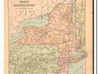
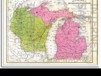
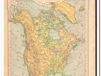
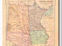
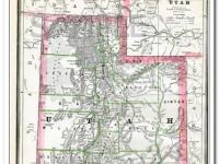
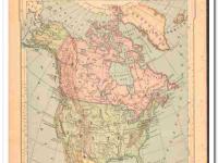
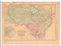
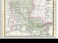
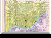
Original vintage 1886 color Commercial Map of THE UNITED STATES. There is a list of the Principal Railroads in The United States. Shown are Principal Forest Region, Wheat, Rye, Corn, Cotton, Pasture, Mineral, Steam Ship Routes, and Canals. Nicely detailed, this antique map would matte and frame beautifully. On the reverse side is a Reference Table of Population of Cities, Towns, Villages and Boroughs having a Population of Over 10,000 by the Census of 1880.
- SKU p064
Payment Methods


Shipping
USPS, FREE Shipping
Payment Policy
We accept major credit cards and PayPal.
Payment is due upon checkout..
Shipping Policy
Free Shipping. USPS First Class with Delivery Confirmation
All ads, catalogs, and maps are stored and shipped in an acid-free PVC sleeve with a stiff acid-free white backboard. Items are always stored and shipped flat, never rolled, folded or shipped in tubes.
Mailers are stamped ((( PHOTOS - DO NOT BEND ))).
We only ship to your 'confirmed' Paypal address.
All shipments will have USPS tracking information available via email and online.
We package all items for safe and secure arrival.
Domestic USA Shipping Only.
Sorry, No International Shipping at this time..
Return/Exchange Policy
Returns Not Accepted, unless grossly misrepresented.
Other Policies
Open 24 / 7
Please Login or Register first before asking a question.